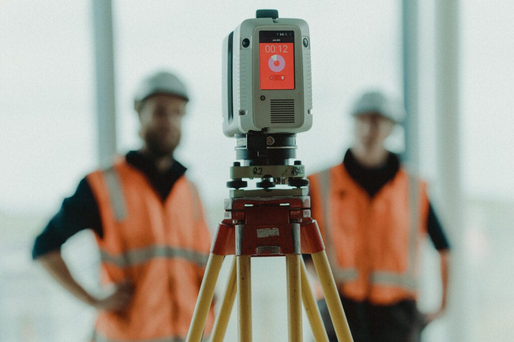
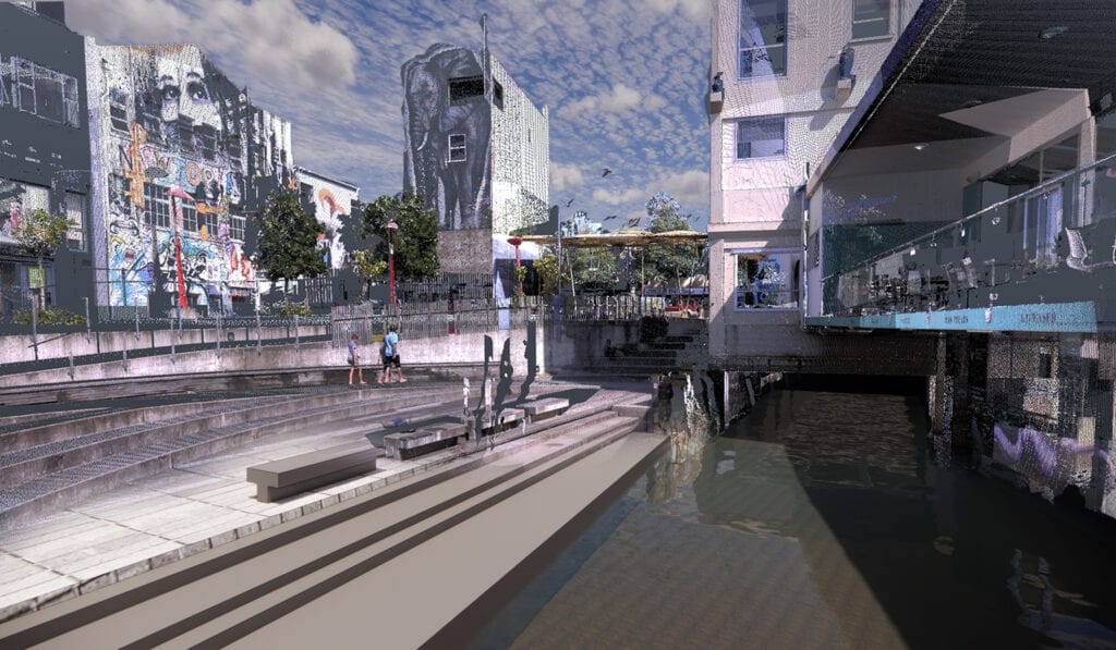
3D laser scanning is an innovative technology which is revolutionising survey data capture techniques and is challenging traditional thinking. It is also in hot demand, and our team of surveying professionals is expanding to meet the market, providing various options for topographic surveying, point cloud data capture and Building Information Modelling (BIM).

BTW owns and utilises survey grade drones, robotic total stations, 3D laser scanners and innovative processing software, to provide our clients with cost and time efficiencies, precise data and safe field operations.
As a large multidisciplinary company, BTW’s teams of Licensed Cadastral Surveyors, Engineering and 3D Geospatial Surveyors, Technicians, Landonline specialists (LINZ), UAV Pilots, Building Information Modelers and Survey Assistants provide end-to-end surveying services for clients throughout Aotearoa – for subdivision and land development, mapping, engineering surveying, 3D laser scanning and BIM, plus virtual and mixed reality requirements (VR/MR).
Understanding your assets and land is key to informed and smart decision making. Being able to lower development and asset management costs is a given, but expectations and requirements around how land is developed and the carbon footprint of new buildings means that having access to high quality data is increasingly important for land development and construction opportunities available in New Zealand.
Surveyors play a key role in asset management projects by way of managing data (from Surveyors, Contractors and Council). Although we still carry out surveys to provide legal boundary locations, gone are the days of surveyors just putting in your boundary pegs. BTW’s advanced team of 3D scanning specialists has extensive knowledge and experience in scanning large facilities and generating intricate and detailed 3D models that provide the client and consultant teams with instant access to a virtual version of the infrastructure and/or land, which is true and correct to the millimetre.

When you consider large scale projects – take the redevelopment of Taranaki Base Hospital for example – it is easy to understand the need for establishing an accurate starting position. At project outset BTW can conduct a comprehensive data capture using our 3D scanning technology to measure up to 2 million points per second and supply point cloud data with a +/-2mm accuracy. If there are specific aspects of your site that require better accuracy (i.e. design constraints), then BTW will adopt survey techniques to reduce the accuracy to a +/-1mm standard.
We then take this data and, with our own in-house 3D BIM specialists, create 3D models to allow for streamlined collaboration and the sharing of complex information across the different design services and the construction teams. A streamlined process with improved outcomes.
This technology is a vital game changer for new construction, as well as for as-built data capture. We recently provided 3D Scanning imagery to support the Ngāruahine upgrade of Dawson Falls Lodge on Taranaki Maunga. Using 3D geospatial equipment to survey the site and structures we were able to facilitate new construction designs that would allow for an appropriate cultural narrative to blend with the existing Swiss-style buildings on the site.
Being a Government shovel-ready funding recipient, this is a project that doesn’t have bottomless coffers, so efficiency is important. Laser scanning is fast, reduces the time and human resources required to complete surveys and, therefore, improves project turnaround, allowing us to pass on savings to our clients.
For more information on BTW’s surveying services, and the application of our surveying technology, talk to our surveying team today, or visit our website: https://www.btw.nz/services/surveying/
To join our team of passionate surveying professionals, see our current vacancies: https://www.btw.nz/about/careers-vacancies/
BTW Company – leading the way with a smart, innovative and multidisciplinary approach.