Monitoring
BTW Company’s team of experienced personnel has the equipment and skills to set up a monitoring program to suit any situation
Due to its ability to be remotely operated, and with the points being reflected off objects or surfaces, using the 3D laser scanner enables inaccessible or high hazard areas to be measured without compromising the safety of personnel or equipment.
Point cloud data is acquired very quickly and accurately. Rather than gathering single point data the scanner captures the entire field of view, including 360 degree high definition photos, ensuring that every detail is recorded.
- Deformation Monitoring
- Walls, beams, columns
- Foundations
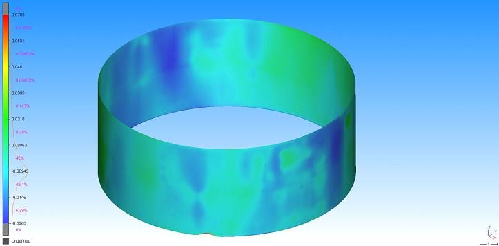
- Tanks
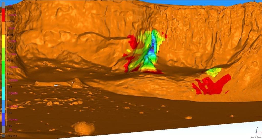
- Landslips, slumping
- Coastal erosion
- Hazardous areas – Rock faces
- Volumes

Compare data using 3D Inspection Tools. Easily identify areas of land movement with the use of colours.

Tank deformation analysis of floor, roof and shell. Confirm out-of-roundness and verticality, specific damage assessment and floor surface contours.
Monitoring results can be delivered in a variety of formats to suit a project’s requirements. Whether it is a 3D model, 3D Inspection colour diagrams or 2D layout plans, we can make it happen.
Our services
Learn how our expertise can produce successful outcomes for your project