UAV
Services
UAV technology produces highly accurate spatial survey data with fast turnarounds
At BTW, UAV technology allows us to complete small and large-scale mapping work in a cost-effective, accurate and safe manner.
Providing efficient accessibility to high-risk areas as a platform to allow informed decisions in real time. No need for post processing.
BTW offer aerial surveying services to a wide variety of clients from our Taranaki and Waikato offices.
Using our quadcopter UAV’s, we can fly, process, and deliver usable imagery to clients in the same day (depending on size and complexity of site and infrastructure).
BTW’s Civil Aviation Authority, drone pilot experience and safe operating procedures allows us to fly within a safe distance of any structure and to close the gap with our high resolution camera and thermal sensor.
Our high-resolution camera has a 30x optical and 6x digital zoom for a total magnification up to 180x with the thermal sensor capturing temperature differences on all types of surfaces from -40degress to +500degrees Celsius.
Our clients are reaping the benefits of these innovative solutions for inspections on flare stacks, tanks, rooves, as well as water leak detections, site investigations, contaminated land and much more.
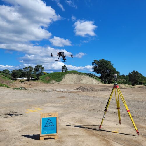
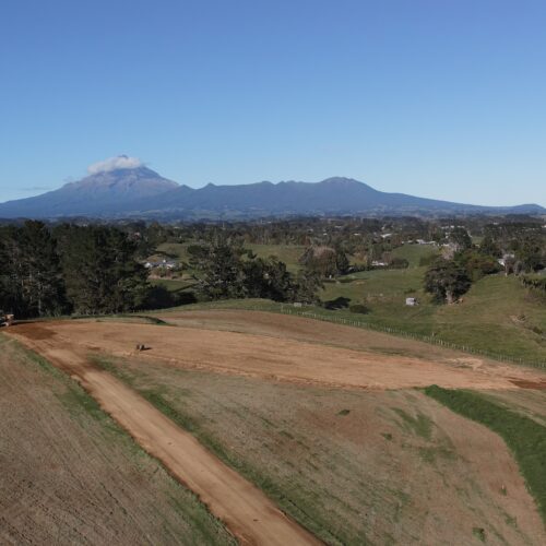
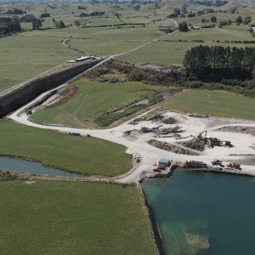
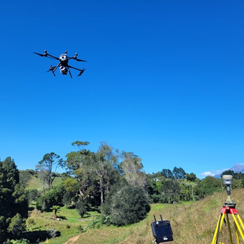
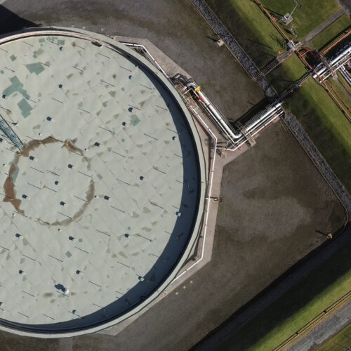
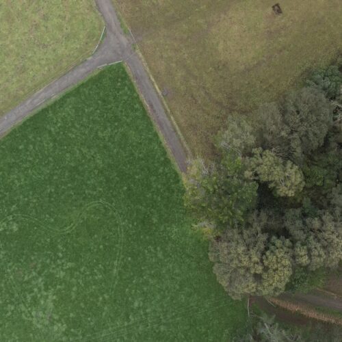
UAV applications include:
- Subdivisions
- Construction; compliance and progress monitoring
- Building inspections
- Quarries and mining; compliance and volume comparisons
- Monitoring; structures and coastal erosion
- Archaeology mapping
- Forestry and farm mapping
- Real estate photography and video
- LiDAR
- Leak detection
What’s involved in Aerial Surveying using UAV?
BTW combine surveying knowledge with high-tech UAV equipment to create ‘to scale’ imagery representing ‘flat earth’. We orthorectify captured images, removing any effects of lens tilt or undulating terrain to maintain constant scale and show objects in their true positions.
We can generally record data that is accurate between +/- 20-100mm. Where necessary, we can extract point cloud data to create surface contours, digital terrain models and structure or feature details.
We fly our UAV’s in accordance with Civil Aviation Authority Rules and Regulations Parts 101 and 102. This is especially important when working in built-up urban areas.
UAV equals speed, efficiency, accuracy, and safety
UAV’s provides information with quick turnaround that empowers owners, helping them apply for resource consents, gauge project progress, answer questions and generally make it happen for their project.
Using our UAV services in Taranaki, Waikato and beyond, we can provide you with:
- Orthorectified imagery
- High definition video fly-through
- High quality still images
- Digital terrain models
- Point cloud data
- Thermal sensor capture
Our services
Learn how our expertise can produce successful outcomes for your project